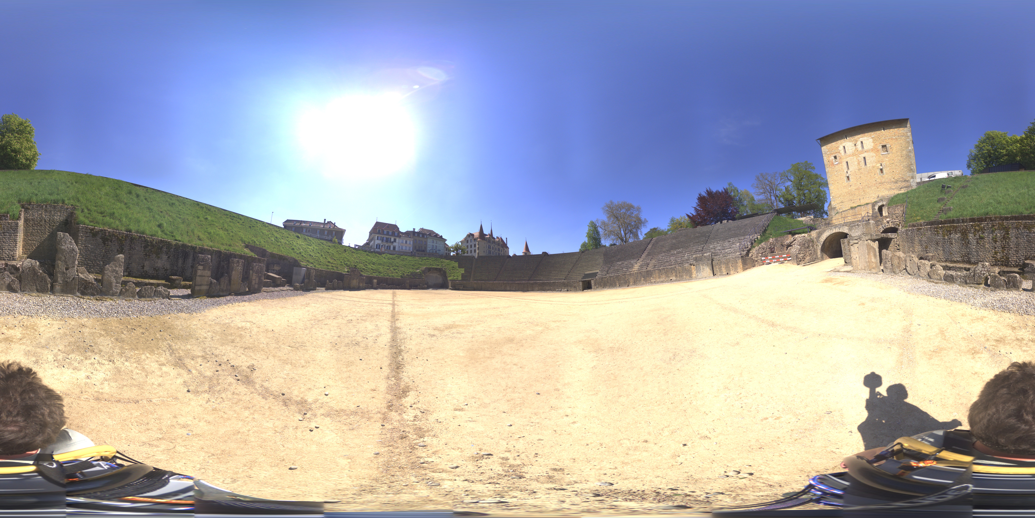
3D4π is a combined hardware and software solution which enables creation of geo-registred panoramas and metric 3D (point-cloud). We develop technological solutions dedicated to 3D-metric environment digitizing. Our process consists of three phases:
1/ Digitizing. We base our solution on Elphel cameras which we consider to be the best in the industry. We benefit from the deep knowledge of this technology, due to our CTO prior experience inside Elphel when he worked for them helping to develop the cameras (Google Street View project). The wide range of mounts allow us to work in any environment. According to task we can attach our equipment to the car, tricycle, tripod or human body.
2/ Processing. Our comprehensive software of approximately 1.2 mln. lines of code is the result of three years of work. There major features of our software are: The quality of the stitched panoramas (no stitching artefacts, uniform angular resolution). The completely automated process of images stitching. High density & accuracy of our point-clouds.
3/ Results delivery. According to the client specifications we provide the results in the selected forms.
– Files. EQR panoramas in JPEG & TIFF formats and 3D point-clouds in PLY format to be used in any standard professional software.
– SaaS viewer. We will provide access to our infrastructure — fully-functional viewer installed on our servers.
– Dedicated installation on the client’s infrastructure — we will assist in installation of our viewer on our client’s servers.
– Export. We will upload your panoramas to Street View or other mapping services.

